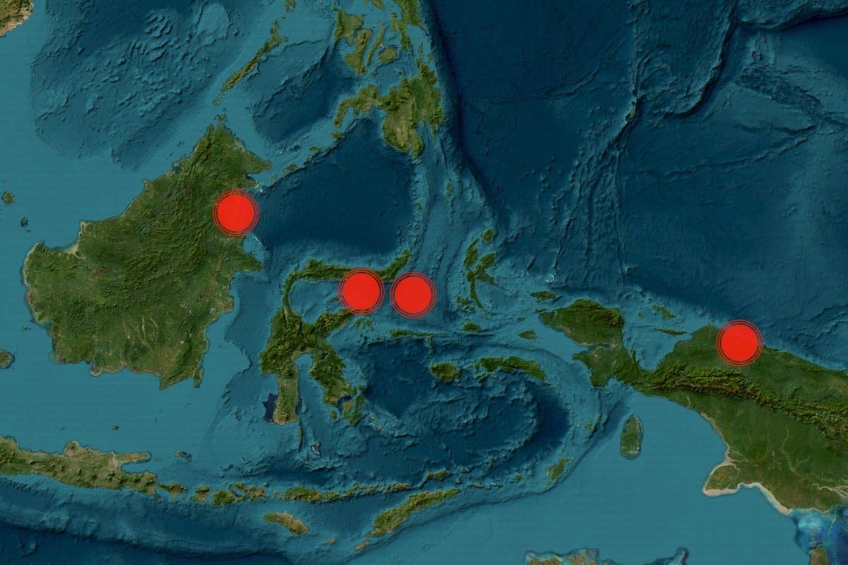
The Indonesian coast has been rattled by a series of earthquakes in the past 24 hours, as reported by the United States Geological Survey (USGS). These seismic events varied in strength, with magnitudes ranging from 4.7 to 5.9. A 5.9 magnitude earthquake shook the region late on Tuesday, located approximately 40 miles (65 km) from Gorontalo and at a depth of nearly 70 miles (110 km), as indicated on the USGS map. Just two hours prior, a 5.0 magnitude quake struck the Papua Province, around 110 miles (178 km) west-northwest of Abepura.
Wednesday also saw two earthquakes hitting the coastline, both registering at a magnitude of 4.7. The occurrence of multiple strong earthquakes in such a short time frame raises concerns about potential damages that could be inflicted on the affected areas. This breaking news will be updated as more information becomes available. Stay tuned for further developments and safety measures as the situation continues to unfold.


Deixe um comentário